
Elizabethtown ZIP Coverage
Official sources confirm two Elizabethtown postal numbers, but they are not the same kind of clue. The standard street-address pattern appears on the county courthouse, Justice Center, sheriff, PVA, and other local offices. The second number appears in City Hall's post-office box address and in an older Postal Bulletin association. Static USPS pages did not reveal a full carrier boundary or a separate local station for that box ZIP. The Elizabethtown ZIP code directory therefore states what is known and sends every exact address back to USPS for current verification.
| Postal code | Confirmed Elizabethtown use | Post office evidence | Research note |
|---|---|---|---|
| 42701 | Ordinary street addresses for city and county agencies | Elizabethtown Post Office, 2934 Dolphin Drive, 42701-9998 | Check the full street address for the current delivery assignment |
| 42702 | PO Box and administrative mail, including City Hall PO Box 550 | USPS bulletin pairs 42701 and 02 with Elizabethtown | Do not treat it as a mapped city land area or confirmed street-delivery zone |
| City-edge ZIPs | No additional Elizabethtown ZIP confirmed in the inspected city/state result | Nearby Cecilia and Rineyville facilities are separate | Do not assign a nearby ZIP to Elizabethtown without an exact USPS result |
| ZIP+4 | Address-specific extension, not cataloged as a citywide list | Resolved through complete-address lookup | No local static carrier-route inventory was found |
That distinction matters in resident research. A box address can receive mail without identifying the physical parcel. A street address can carry the Elizabethtown postal city while sitting in a geographic layer that must still be checked. Neither code, by itself, proves a person's current home. Postal data answers delivery questions. City GIS answers municipal geography, while Hardin County PVA and GIS answer parcel questions.
Check an Elizabethtown ZIP
The USPS ZIP Code Lookup offers three modes. Each begins with a different input and answers a different postal question. The dynamic Elizabethtown city/state result did not populate in the text inspection, so the tool must be run live. That access gap is not evidence that the city lacks postal results. It is a reason to use a full, standardized street address whenever one is known.
| USPS mode | Fields to enter | Best use |
|---|---|---|
| By Address | Company if needed, street, unit, city, state and ZIP | Confirm deliverability and exact assignment |
| By City and State | City and state | Find current ZIPs tied to a postal city |
| Cities by ZIP | Five-digit ZIP | See which postal city USPS associates with that number |
The official lookup screen shows the current entry routes:
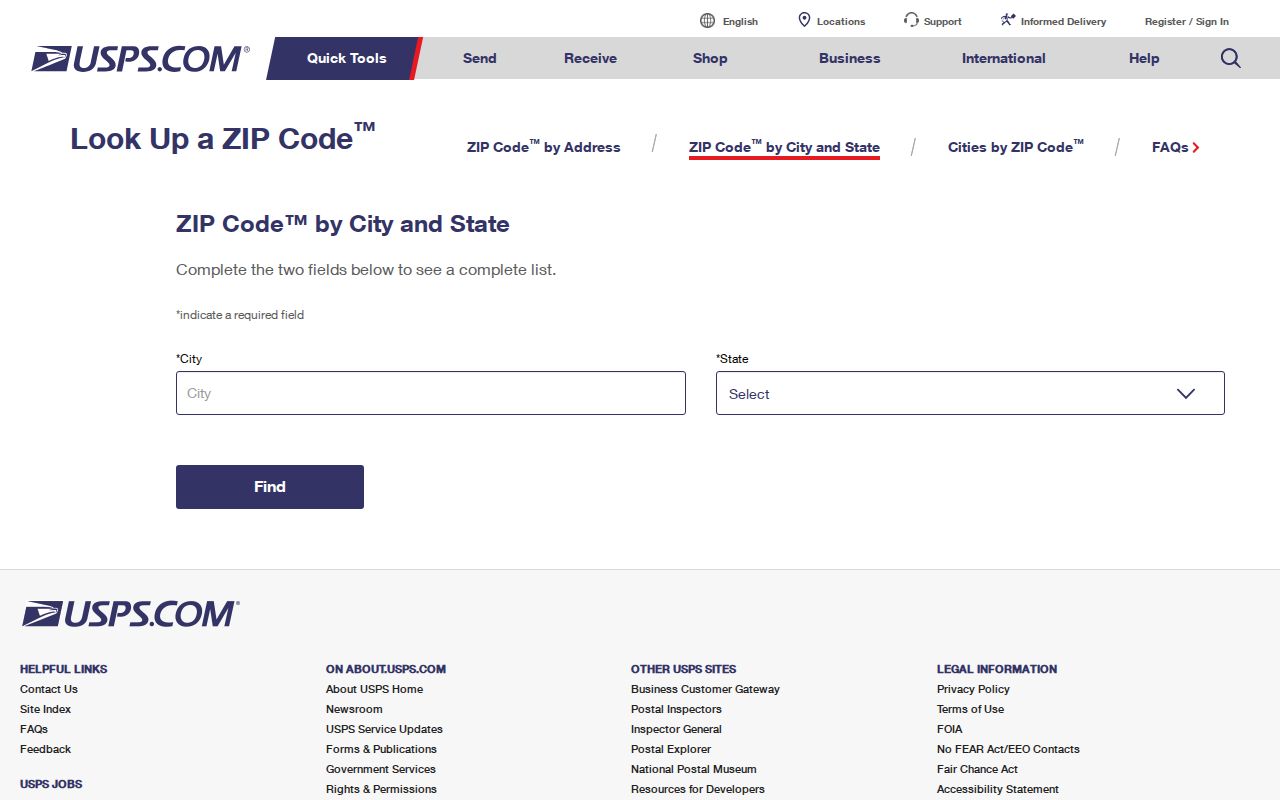
Use its result as a postal finding, then compare other agencies' maps for city, parcel, or precinct facts.
Elizabethtown ZIP Postal Hub
The official facility listing places the Elizabethtown Post Office at 2934 Dolphin Drive, Elizabethtown, KY 42701-9998. That listing is the strongest local station evidence found for ordinary street-address mail. USPS also links nearby facilities, but a nearby station name does not make its ZIP part of incorporated Elizabethtown. Use the facility page for current services and hours because those details can change.
The Elizabethtown Post Office listing identifies the facility used in the ZIP code directory:
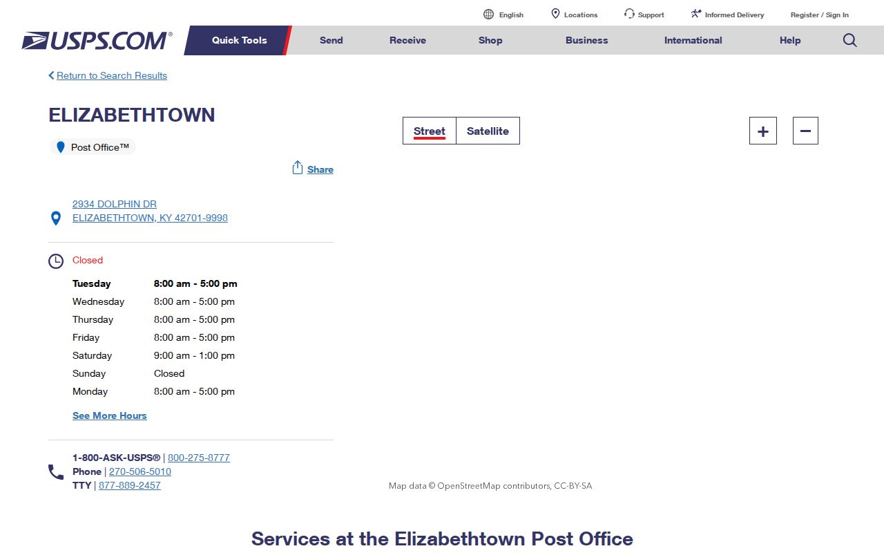
The page ties the station to 42701, while the full address lookup remains the right test for a home, business, unit, or box.
Note: A facility ZIP and a delivery ZIP answer different questions, so verify the complete address rather than copying the station suffix.
Find Elizabethtown Records by ZIP
A ZIP can narrow a public search, but only where the official system supports that field. USPS accepts postal inputs directly. Kentucky's SBE-84 voter-data process offers household-by-ZIP output within chosen county, precinct, or district geography. The state police registry has ZIP and radius modes for its limited public-safety purpose. Hardin PVA describes address and location data, although its live search fields were blocked during inspection. City and county GIS support map and address work, not a confirmed ZIP-wide text filter.
- Verify the postal code. Enter the complete address in USPS and save the standardized result.
- Test city geography. Compare the address with the CityLimitsBoundary layer and Hardin County GIS.
- Identify the parcel. Use PVA or GIS to record the map ID, owner label, situs address, and legal description.
- Choose a lawful roll. Use a ZIP-capable voter or specialized registry route only for its stated purpose and under its controls.
- Narrow below ZIP level. Move from the broad postal area to the exact record key, street, parcel, precinct, or case.
The Hardin County Clerk land index cannot search deeds by ZIP or street address. Start with PVA or GIS, then carry the owner name, map ID, or deed book/page into eSearch. Once the postal search resolves to a named road, the Elizabethtown street directory gives the fuller street-level record chain.
Elizabethtown Postal Geography
Elizabethtown has several overlapping frames. It is an incorporated Home Rule city and the Hardin County seat. USPS manages delivery geography. Hardin County maps tax parcels, and election officials maintain precinct and district lines. Census statistics describe a legal place with their own boundary date. One address can share the name Elizabethtown across some of these systems while falling outside another boundary.
The city has both a compact historic core and newer growth around Ring Road, North Dixie, CSX, Freeman Lake, and the road corridors of US 31W and US 62. The Envision Elizabethtown 2040 plan calls downtown a more than 20-block subarea and defines Urban Neighborhood East within planning boundaries. Those labels are useful map context, but they are not postal districts. The ZIP code directory avoids assigning each local landmark or plan area to a postal code without address-level USPS evidence.
Census QuickFacts reports 31,394 residents and 27.18 square miles for the 2020 city, with a density of 1,155.1 people per square mile. These figures explain scale, not named residency. They cannot be divided into ZIP populations from the sources inspected. No verified per-ZIP resident count was found, so none should be inferred from a city total.
Elizabethtown ZIP and City Limits
USPS states that ZIP boundaries do not follow city limits. That single rule prevents a common mistake: treating every Elizabethtown mailing label as proof of incorporation, or treating the city line as the edge of postal delivery. City Hall itself shows another mismatch. Its public mailing address uses PO Box 550 with 42702-0550, while the physical records offices commonly show 42701 street addresses.
For a boundary question, pair the postal result with the City of Elizabethtown CityLimitsBoundary service and the countywide Hardin GIS map. Add PVA when a specific parcel matters. A planning subarea, voter precinct, school zone, census tract, or county parcel is not a ZIP boundary. If the sources disagree, report what each map classifies and the date checked rather than forcing one universal location label.
- ZIP and ZIP+4
- A five-digit delivery area and an added four-digit segment for a more exact delivery group.
- PO-box ZIP
- A code used for post-office-box mail; it may not describe a physical land area.
- Unique ZIP
- A code assigned to one high-volume organization. No such Elizabethtown code was confirmed here.
- Carrier route
- The set of delivery points served by one postal route, which may cross other map boundaries.
Boundary check. A postal city name helps deliver mail. It does not, on its own, place an address inside Elizabethtown's incorporated limits.
Elizabethtown Mailing and Parcel Clues
Property systems separate a situs address, the physical place of a parcel, from a mailing address used for tax notices. A post-office box or out-of-area mailing address may belong to the parcel owner without describing the land or its occupant. Preserve both labels. Then compare the map ID, legal description, subdivision, lot, block, deed book/page, and parcel map before linking a person to a location.
Hardin PVA and GIS are the practical bridge from an address to the map ID. The Clerk eSearch then uses names, book/page, map ID, advanced fields, or file number. It does not offer an address or ZIP index. A deed shows the recorded grantor and grantee roles, not who sleeps at the property today. These distinctions keep a postal directory from drifting into unsupported household claims.
Note: Keep the situs, mailing, and postal labels separate because each describes a different link between a person, parcel, and delivery point.
Elizabethtown Records Before ZIP Codes
Modern postal codes should not be applied backward to an 1847 or 1868 town plat, a nineteenth-century deed, or the confirmed 1932-1933 Elizabethtown city-directory reprint. Older sources organize places by road, town, lot, legal description, district, route, household, or named landmark. A present-day ZIP may help locate today's repository, but it cannot rewrite the geography printed in an earlier record.
For a historical address, start with the dated wording. Use the Clerk's plats and deed archive, the Hardin County Historical Society directory lead, county histories, census material, and newspapers. Then compare the old lot or road with modern parcel and city GIS layers. The process may reveal a current postal assignment at the end, but the historical link should rest on a legal description, dated map, directory entry, or other period source.
Use Elizabethtown ZIP Data Carefully
A household-by-ZIP voter extract is controlled data, not a casual resident roll. The SBE-84 form requires an eligible purpose, selected geography and format, an oath against prohibited commercial use, fees, and other controls. A ZIP in voter data is a postal field. It does not prove city limits or uninterrupted residence. Safe at Home can also substitute a protected public mailing address for an eligible survivor.
The same care applies to specialized registry ZIP searches. Use them only for the system's stated public-safety purpose, heed its accuracy and anti-harassment warnings, and avoid republishing exact addresses. For ordinary genealogy, estate, property, or civic research, use the least intrusive official source that answers the narrow question. Record the source date and avoid merging several broad lists into a profile of private people.
The USPS ZIP Code basics page states the boundary principle behind that caution:
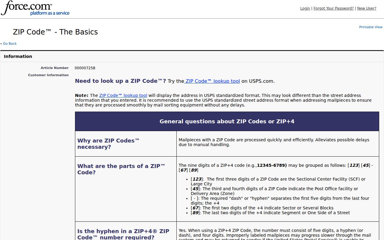
The guidance is a useful final check: postal sorting areas and local government borders serve different jobs.