
Elizabethtown Neighbors by Source
No single official roll identifies everyone on an Elizabethtown block. Hardin County GIS locates parcels, the city services add municipal geometry and zoning, and the PVA supplies property facts. The Clerk then confirms recorded title. Kentucky voter data follows a separate request process and cannot be treated as a casual block directory. Community groups describe place, not every household.
| Source | What It Shows About a Block | Access |
|---|---|---|
| Hardin County GIS | Parcel shapes, nearby lots, address and county context | Public informational map |
| City parcel and zoning GIS | Inside-city parcels, zones, roads, limits, and right-of-way | Public REST identify and query services |
| Hardin County PVA | Owner, mailing and situs addresses, sales, and deed keys | Official search; inspect one parcel at a time |
| Clerk land index | Recorded parties and legal descriptions for each tract | Name, book/page, map-ID, and file searches |
| Planning and civic sources | District, subarea, land-use, and event context | Public plans and organization pages, no resident roster |
An owner name proves only the assessment or recorded-title role shown by that source. A mailing address may be elsewhere, and a parcel may be held by an estate, trust, or business. Neither a homestead flag nor matching mailing and situs addresses names every occupant. Treat each result as one fact to verify, not a complete answer about your neighbors.
Elizabethtown Block Map Layers
The City of Elizabethtown GIS catalog exposes parcel boundaries, zoning, roads, city limits, right-of-way, cemetery, and geocoder services. These layers help explain an apparent neighbor. A road easement, split tract, overzone, or city-limit line can sit between two points that look adjacent on a plain street map.
The city service metadata supports identify and query actions, but it does not promise an owner-return field. Use the geometry to collect parcel keys, then check ownership through the PVA and Clerk. Hardin County GIS also warns that coordinate-system limits can skew parcel lines. A mapped boundary is a research aid, not a survey.
The city zoning map service shows the local zoning layers used in this block check.
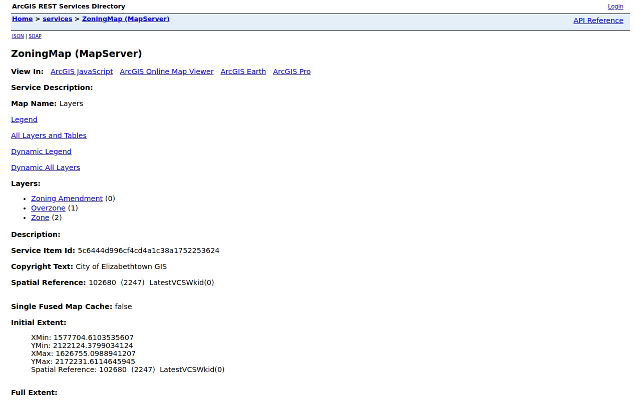
Its zone and amendment context explains land-use differences without identifying who occupies a property.
Map Elizabethtown Neighbor Parcels
Start from one verified address and walk outward only to polygons that actually touch or face it. No reproducible inspection confirmed a county buffer, radius, or automatic neighbors button. The safe method is manual map browsing with a separate check of each parcel.
- Search the subject address in Hardin County GIS or use the city geocoder for a parcel inside city limits.
- Select the polygon and record its parcel or map ID, address label, and legal-description clue when shown.
- Pan to each touching polygon. Record only the parcel key needed for the next official search.
- Open each parcel separately in PVA/qPublic, then use a deed reference or party name in the Clerk index.
- Add roads, rights-of-way, zoning, city limits, and terrain layers before deciding that two parcels are adjacent.
For every parcel along the full road, use the Elizabethtown street directory workflow. A neighbor lookup should stay focused on the immediate block and should not infer personal ties from shared boundaries.
Downtown Elizabethtown Block Context
The Envision Elizabethtown 2040 plan describes Downtown as a district of more than 20 blocks around US 31W and US 62, mixing commercial, office, civic, residential, historic, and multi-use structures. Urban Neighborhood East lies largely inside Ring Road between CSX and North Dixie and includes Freeman Lake, schools, and several development patterns. These are planning subareas, not lists of residents.
Downtown Elizabethtown provides district and civic context for the historic core. It does not publish a resident roster in the material inspected.
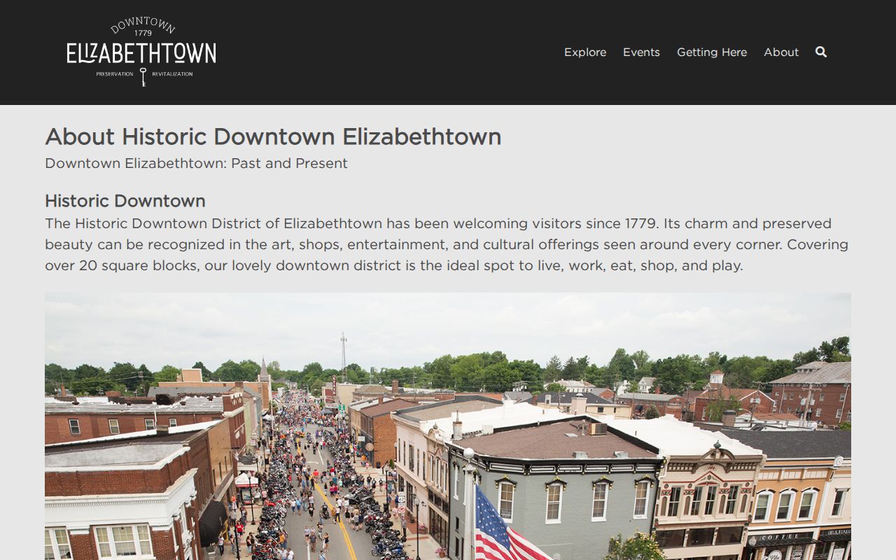
The district source helps label the setting around a parcel while leaving household identity to official records.
Elizabethtown Community Directory Gaps
No complete official list of Elizabethtown HOAs, neighborhood associations, block watches, congregation rosters, or club members was found. The absence of a public list does not mean a group does not exist. Ask City Planning or the Clerk about a named subdivision, review recorded restrictions, or contact a known organization through its own public channel.
Recorded restrictions are often a better starting point than a broad web search. The Hardin County Clerk maintains restrictions from May 1, 1938 forward in the online land system and provides a separate archive route for material before 1988. A restriction can tie a subdivision name, plat, lot, and rule set to the block. It still does not prove that an association is active, that a named owner lives there, or that every nearby parcel shares the same restrictions. Search each tract by its deed and map references.
| Local source | What it can establish | What it cannot establish |
|---|---|---|
| Downtown Elizabethtown | Historic district and civic activity | A household roster |
| 2040 planning subareas | Official geography and land-use setting | Association membership |
| Subdivision restrictions | Recorded rules and tract references | Current occupants |
| Library and historical groups | Older directories, newspapers, and family leads | A current block list |
Historic work can use the confirmed 1847 and 1868 plats and the 1932-1933 directory reprint. Compare old lots to current parcels cautiously because a modern tract may not match the old block.
Kentucky Voter Data by Block
The individual Kentucky Voter Information Center requires legal first name, last name, date of birth, and optionally the last four digits of a Social Security number. It is a current registration and polling-place check for a known person, not a way to browse Elizabethtown neighbors.
A separate SBE-84 request can ask for voter data by county, precinct, district, city, ZIP, street, or household format. The form requires requester details, a purpose oath, format choices, and payment. State law bars commercial use and sale. Protected voters may use Safe at Home address substitution, so no voter source should be presented as a complete block list.
The requested file may include name, residential and mailing addresses, precinct, party, registration status, ZIP, and voter-history fields, depending on the approved selection and format. None of those fields proves that a person was home on a given date or identifies unregistered occupants. County election staff remain the fallback for the request process and list-maintenance questions. Keep the production date with any block extract because moves, cancellations, and precinct updates can quickly change the result.
Note: Use the narrowest lawful geography and keep the record date, since registration status and addresses change.
Official Elizabethtown Neighbor Records
Official sources and commercial neighbor tools answer different questions. The official route is slower because each office controls one record type, but it exposes the source date, field meaning, and custodian. Commercial compilations may blend old addresses and people with similar names, and they often hide how a match was made.
| Route | Best use | Main limit |
|---|---|---|
| GIS, PVA, and Clerk | Parcel adjacency and recorded ownership | Does not list every occupant |
| Voter request route | Lawful, dated registration research | Restricted use and protected addresses |
| Commercial compilation | A possible lead to verify elsewhere | Unknown freshness and weak source detail |
Use a commercial result, if encountered, only as a lead. Return to the parcel, deed, voter, or historical custodian before relying on it.
Historic Elizabethtown Neighbor Lines
A modern block can hide an older pattern. The Hardin County Clerk archive confirms Elizabethtown plats from 1847 and 1868, while the Historical Society lists a 1932-1933 city directory reprint. Together they can show how an old lot, street, and dated household relate. They cannot be laid over today's parcels without checking later subdivision, road work, and changes in legal descriptions.
The city's growth also followed distinct transport lines. Local historical sources mark the first Louisville and Nashville Railroad train in 1854. Current planning sources still use CSX, Ring Road, North Dixie, US 31W, and US 62 as major geographic anchors. A rail corridor or right-of-way can explain why the nearest building is not on an adjoining parcel and why the block belongs to a different planning context.
For a historic neighbor question, select the current parcel first, copy its legal description, and work back to the old plat. Then check the dated directory. Do not assign a person to a lot from proximity alone. A directory address, deed, census line, or other dated record must support the link.
Hardin County GIS and the city parcel service serve different roles in that comparison. The county map gives the wider parcel setting but expressly warns that coordinate-system limits may shift displayed boundaries. The city service can identify or query parcel geometry inside Elizabethtown. Neither service description guarantees legal title or a household name. Use the PVA map ID as the bridge to the property record, then use the deed book and page to reach the recorded instrument.
Privacy for Elizabethtown Neighbors
Parcel records do not disclose every renter, child, relative, or guest. No public utility-customer or delivery-data lookup was located, and such data should not be assumed public. Kentucky's Safe at Home program can substitute a mailing address for eligible survivors. A physical address collected for a bona fide agency need remains nonpublic under that program.
Map only what the task needs. Avoid republishing a person's full parcel profile, voter details, or a guessed household list. If a boundary or title appears wrong, contact the PVA, Clerk, or GIS office through an official channel instead of confronting a person at the property.
Kentucky's Consumer Data Protection Act, effective January 1, 2026, creates access, correction, deletion, portability, and opt-out rights for consumers covered by that law. Public records and government entities have important exclusions, so the act is not a tool for erasing a deed, assessment, or other official Elizabethtown record. It is most relevant when a commercial service reuses personal data. For an official-record error, follow the correction or appeal route offered by the office that keeps the record.
Lawful use. Look up Elizabethtown neighbors for civic awareness, local history, reconnecting, or personal safety. Never use public records to watch, harass, threaten, or intimidate anyone.